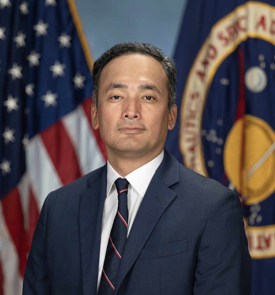
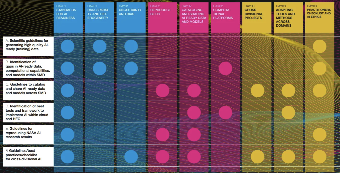
In 2019, I began a NASA Headquarters detail that led me to support the Science Mission Directorate's (SMD). I started with the Earth Science Data Systems (ESDS) program, where I managed the Advancing Collaborative Connections for Earth System Science (ACCESS) program and developed the AI strategy. Later, as the Data Science and Innovation Lead for the Office of the Chief Science Data Officer (OCSDO), I had the honor of leading SMD's AI initiative in close collaboration with all NASA science divisions, where I engaged in numerous activities to raise leadership awareness of AI's potential for science and brought the science community to address challenges in adopting AI for science, including developing best practices and principles for ethical AI in scientific research. Additionally, I represent NASA in two major activities organized by the White House Office of Science and Technology Policy (OSTP): serving as a steering committee member of the National AI Research Resource (NAIRR) and Co-chair of the Networking and Information Technology Research and Development (NITRD) program's Big Data (BD) Interagency Working Group (IWG).

Recently, I led the development of the US Government Greenhouse Gas Center Information and Monitoring System, building upon the NASA Visualization, Exploration, and Data Analysis (VEDA) project, which I conceptualized and initiated.

Beyond my work at NASA, I serve as an adjunct faculty member in the Atmospheric Science department at UAH, where I have mentored numerous students as a data science advisor. I also hold leadership positions in various organizations, including being a senior member of the Institute of Electrical and Electronics Engineers (IEEE) and serving as the chair of the IEEE Geoscience and Remote Sensing Society (GRSS) Earth Science Informatics Technical Committee. I am also a member of the American Geophysical Union (AGU) and AGU Fall Meeting Planning Committee, European Geosciences Union (EGU), and Association for Advancement of Artificial Intelligence (AAAI).

Appointments

  • Technical Committee Chair, Earth Science Informatics (ESI), Geoscience and Remote Sensing
  • Co-Chair, OGC Augmented Reality Markup Language 2.0
  • Senior Member, IEEE
  • Member, AGU Fall Meeting Planning Committee
  • Adjunct faculty, UAH Atmospheric Science Department
  • Co-chair Networking and Information Technology Research and Development (NITRD) program, Big Data (BD) Interagency Working Group (IWG)
  • Steering Committee member of the National AI Research Resource Program

Selected Publications

  • Clifford Neural Operators On Atmospheric Data Influenced Partial Differential Equations
  • Croissant: A Metadata Format for ML-Ready Datasets
  • Investigating Different Data-Traceability Approaches to Prevent Data Swamps
  • Rethinking AI for Science: An Evolution From Data‐Driven to Data‐Centric Framework
  • Foundation models for generalist geospatial artificial intelligence
  • Applying deep learning to hail detection: A case study, IEEE Transactions on Geoscience and Remote Sensing
  • Detection of transverse cirrus bands in satellite imagery using deep learning, Computers & Geosciences
  • Deepti: Deep-learning-based tropical cyclone intensity estimation system, IEEE journal of selected topics in applied Earth observations and remote sensing
  • Tropical cyclone intensity estimation using a deep convolutional neural network, IEEE Transactions on Image Processing
  • Simulation Management Systems Developed by the Northern Gulf Coastal Hazards Collaboratory (NG-CHC): An Overview of Cyberinfrastructure to Support the Coastal Modeling Community in the Gulf of Mexico,Remote Sensing and Modeling: Advances in Coastal and Marine Resources, Springer International Publishing
  • Talkoot: software tool to create collaboratories for earth science,Earth Science Informatics
  • A Neural Network-Powered Cognitive Method of Identifying Semantic Entities in Earth Science Papers
  • Advancing AI for Earth science: A data systems perspective, Eos
  • Pixel level smoke detection model with deep neural network,Image and Signal Processing for Remote Sensing, SPIE
  • Using sensor web protocols for environmental data acquisition and management,Ecological Informatics,Elsevier
  • High-Performance and Disruptive Computing in Remote Sensing: HDCRS—A new Working Group of the GRSS Earth Science Informatics Technical Committee, IEEE Geoscience and Remote Sensing Magazine
  • On measuring and employing texture directionality for image classification, Pattern Analysis and Applications
  • Directional texture for visualization-new technique and application study, Information Visualisation
  • Higher order approximating normals and their impact on isosurface shading accuracy, Machine Graphics and Vision International Journal
  • Deep feature extraction and its application for hailstorm detection in a large collection of radar images, Signal, Image and Video Processing
  • Additional publications can be found at Google Scholar

Workshops Organized

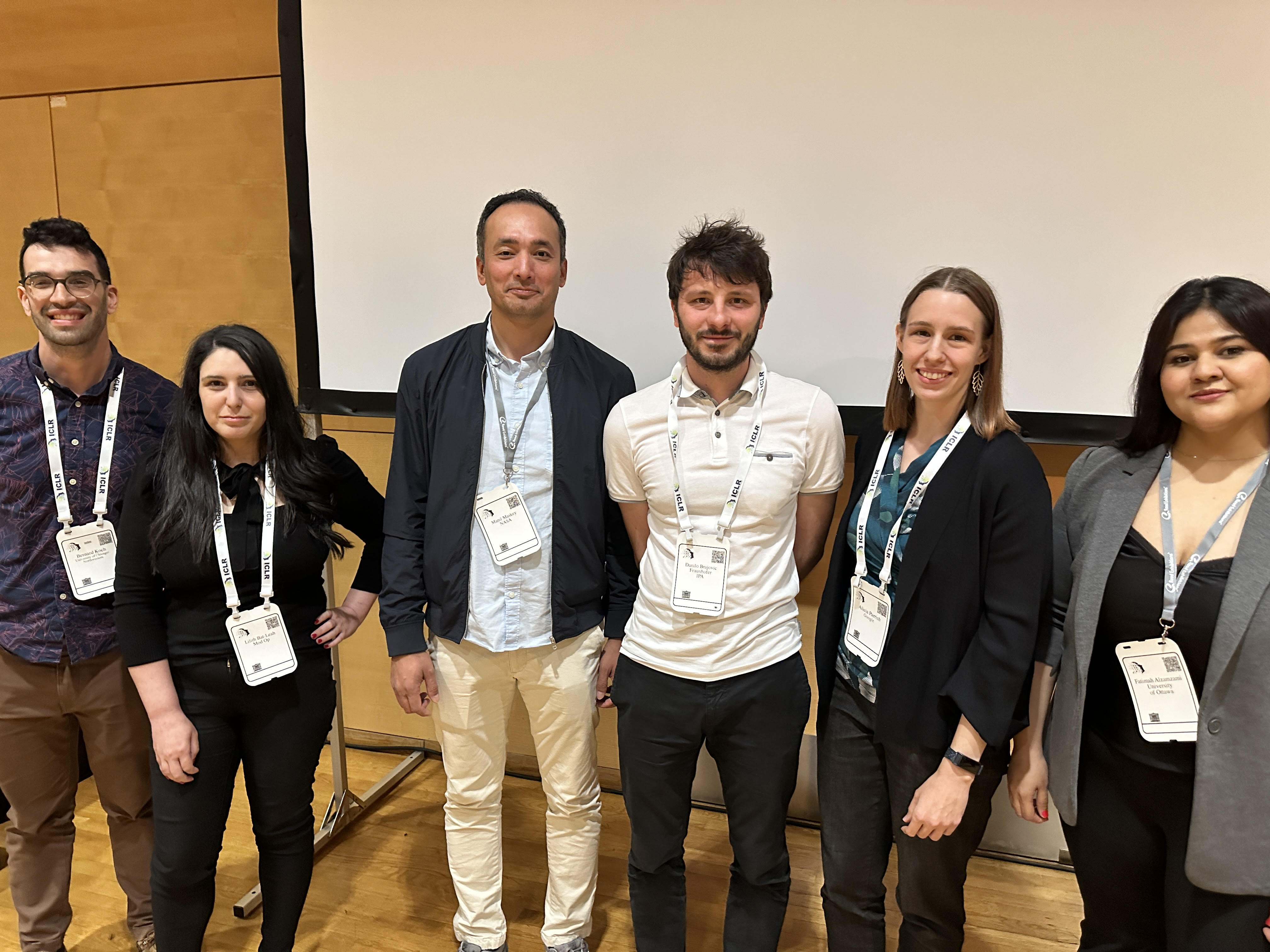
ICLR

DMLR Workshop: Data-centric Machine Learning Research

ICLR 2024

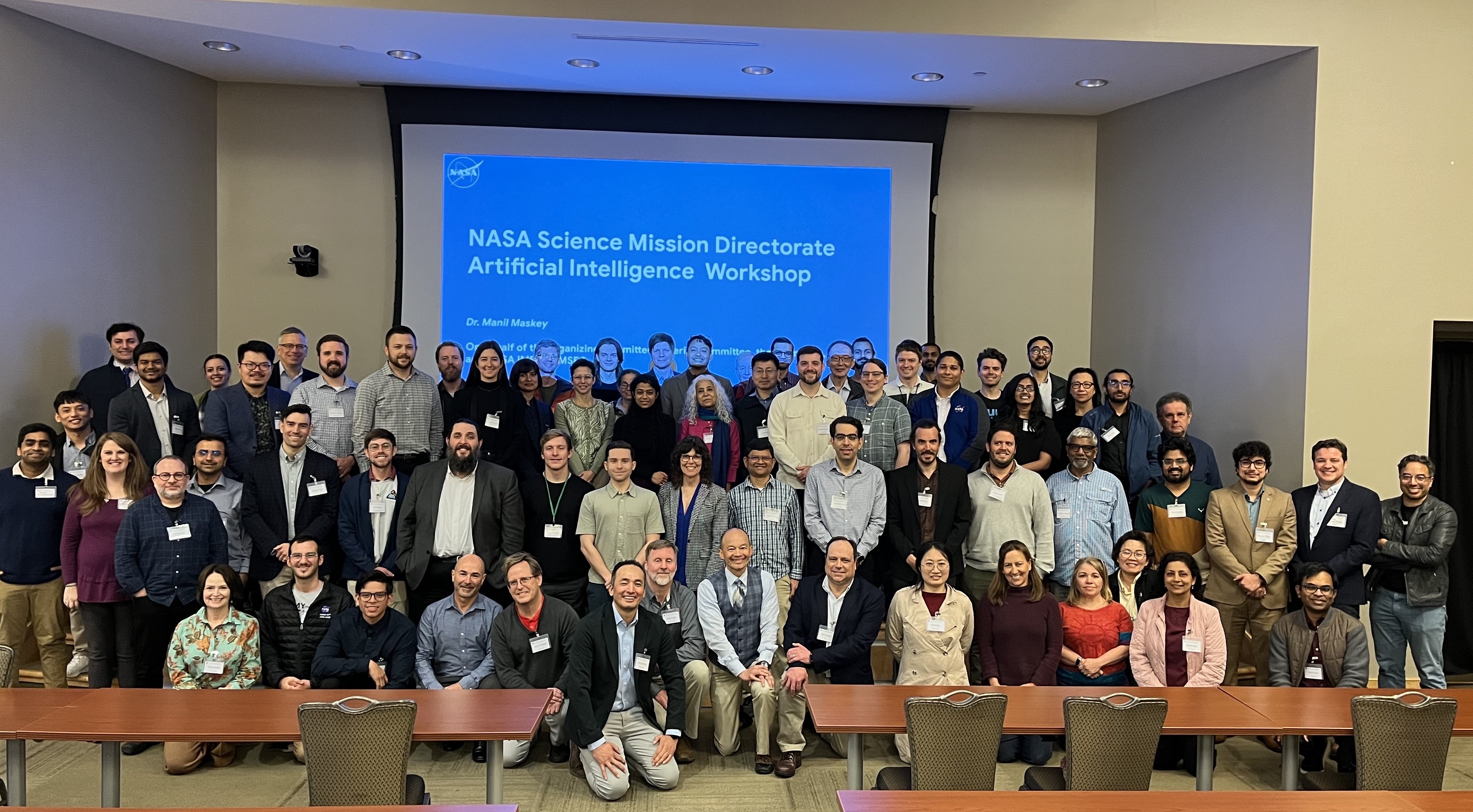
smdai

NASA Science Mission Directorate AI Workshop 2024

wacv

1st Workshop on Computer Vision for Earth Observation (CV4EO) Applications

IEEE/CVF Winter Conference on Applications of Computer Vision (WACV) 2024

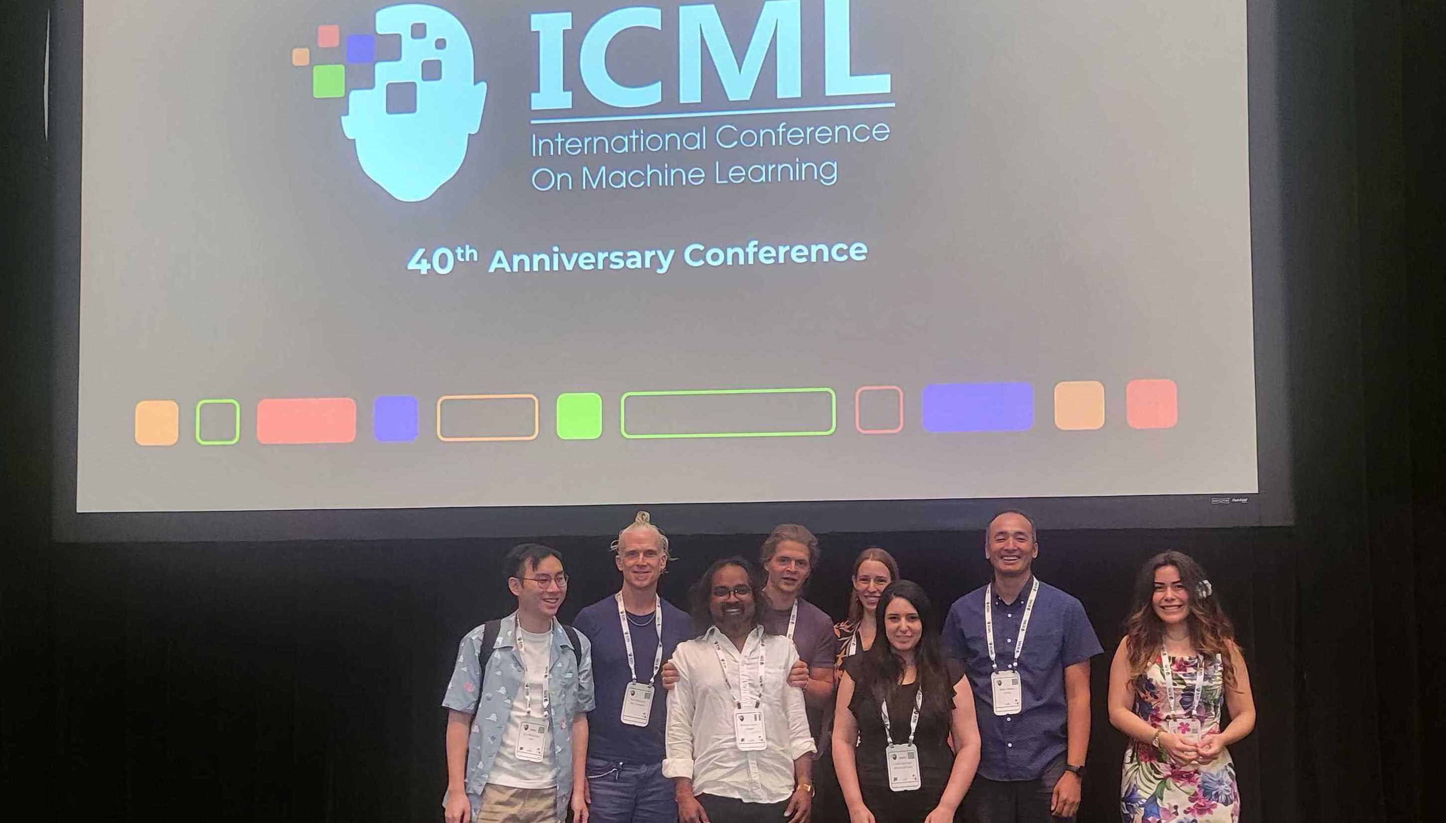
dataperf

DMLR Workshop: Data-centric Machine Learning Research

ICML 2023

ethics

Ethical AI for Science in Collaboration with AGU

smd

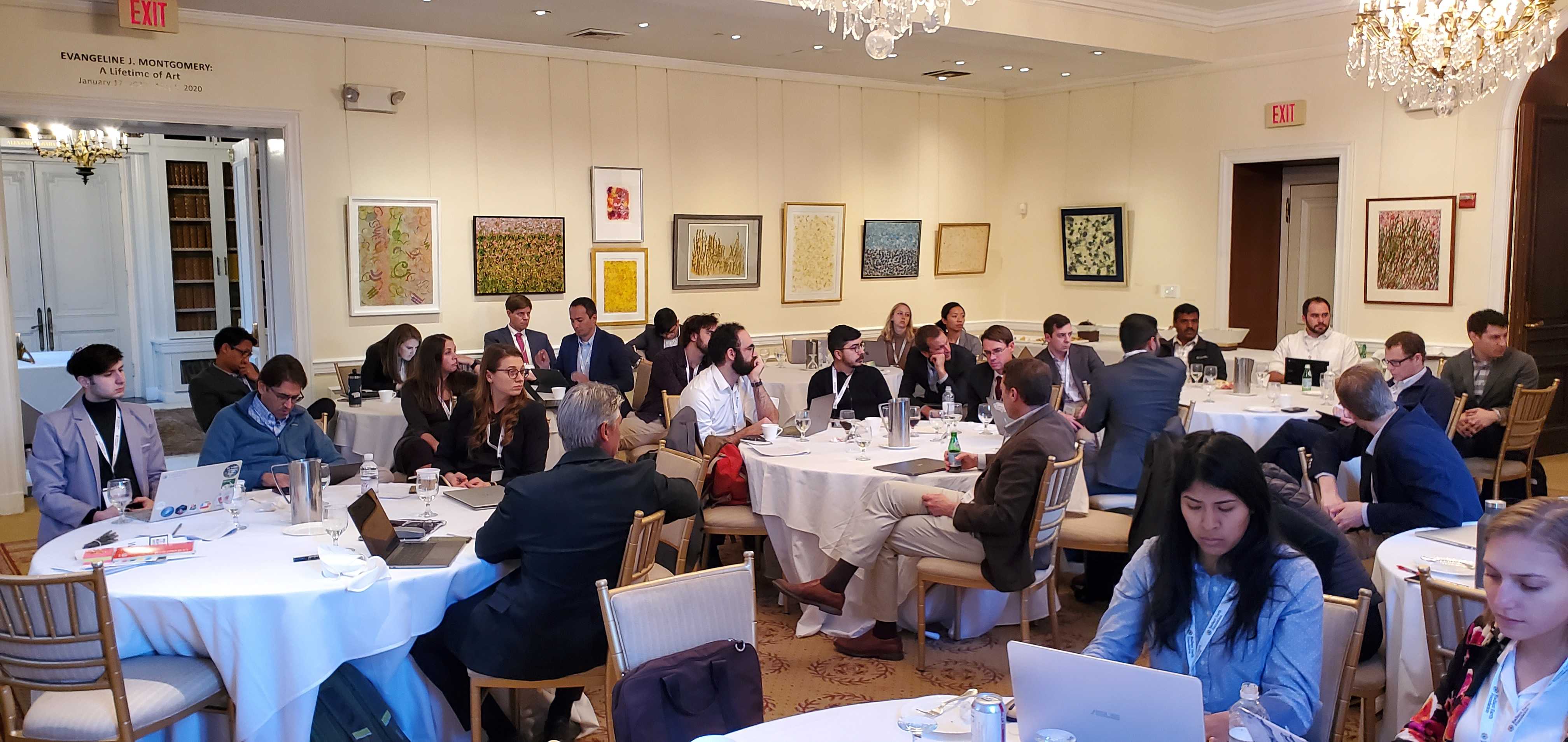
3rd NASA Cross Center AI Workshop

smd

NASA Science Mission Directorate AI Workshop

dataperf

Advancing Machine Learning Tools for Earth Science Workshop

Challenges Organized

etci

ETCI 2021 Competition on Flood Detection

IEEE ETCI 2021

wind

Wind-dependent Variables: Predict Wind Speeds of Tropical Storms

Published Curated Machine Learning Datasets

Outreach Programs Organized

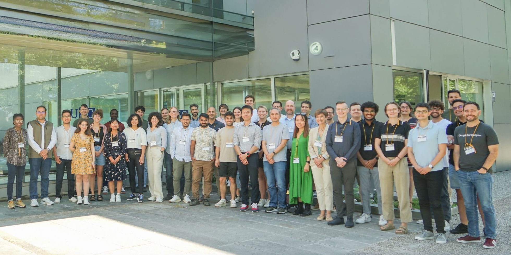
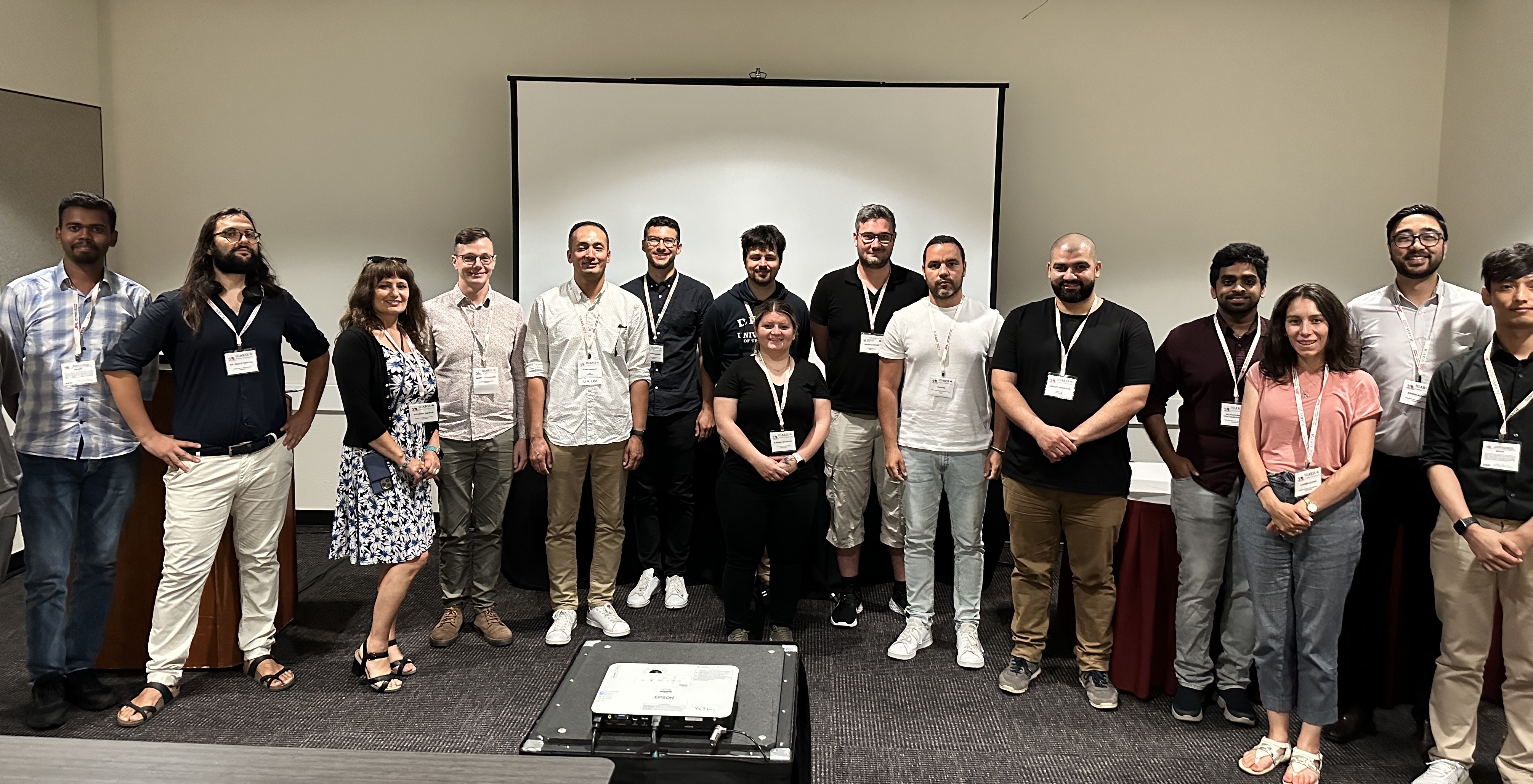
IGARSS2024HDCRS

GRSS ESI/HDCRS Machine Learning Lifecycle in High Performance Computers and Cloud: A Focus on Foundation Models

IGARSS 2024

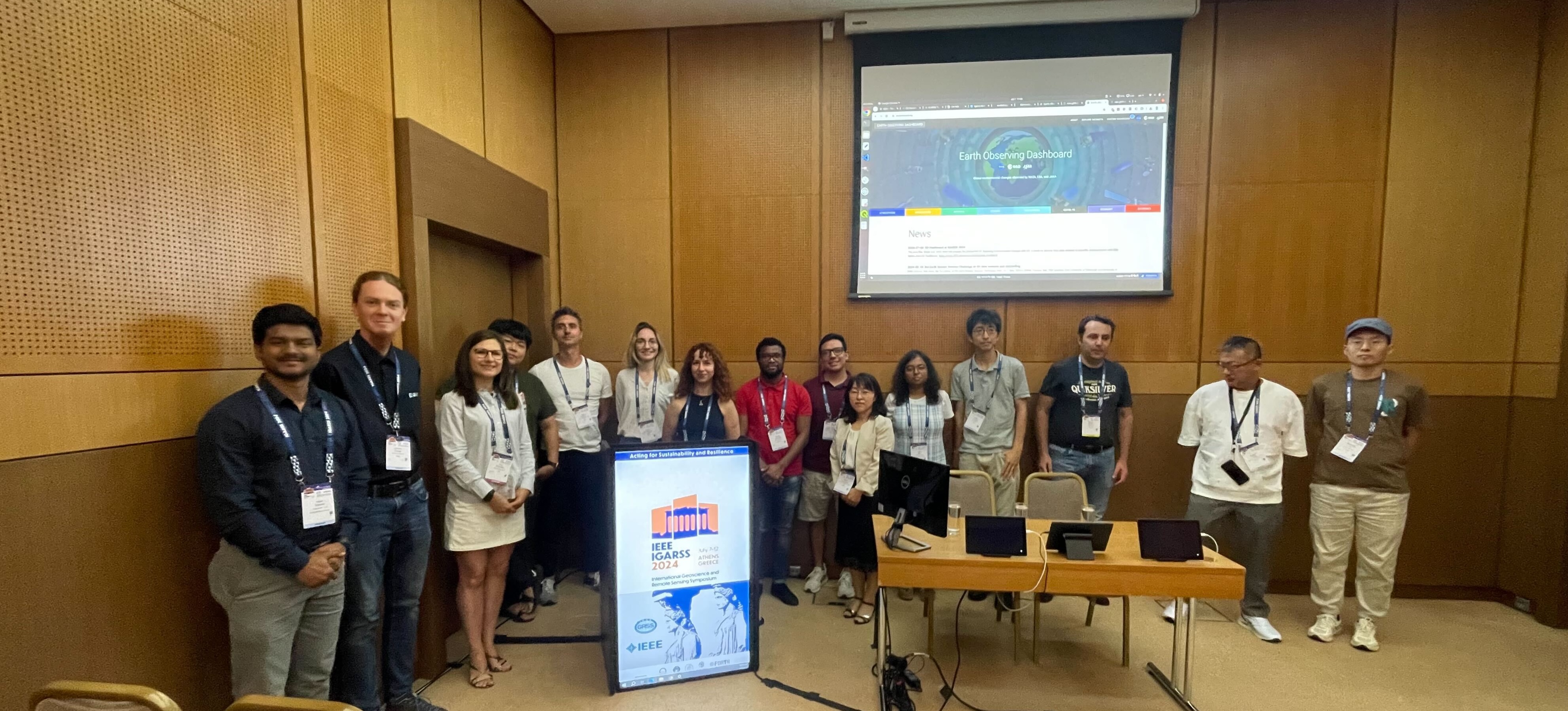
IGARSS2024EO

Joint ESA/NASA/JAXA Tutorial on Storytelling

IGARSS 2024

summer-school-24

Large Geospatial and Language Models - Hands-on session

University of Santiago de Compostela

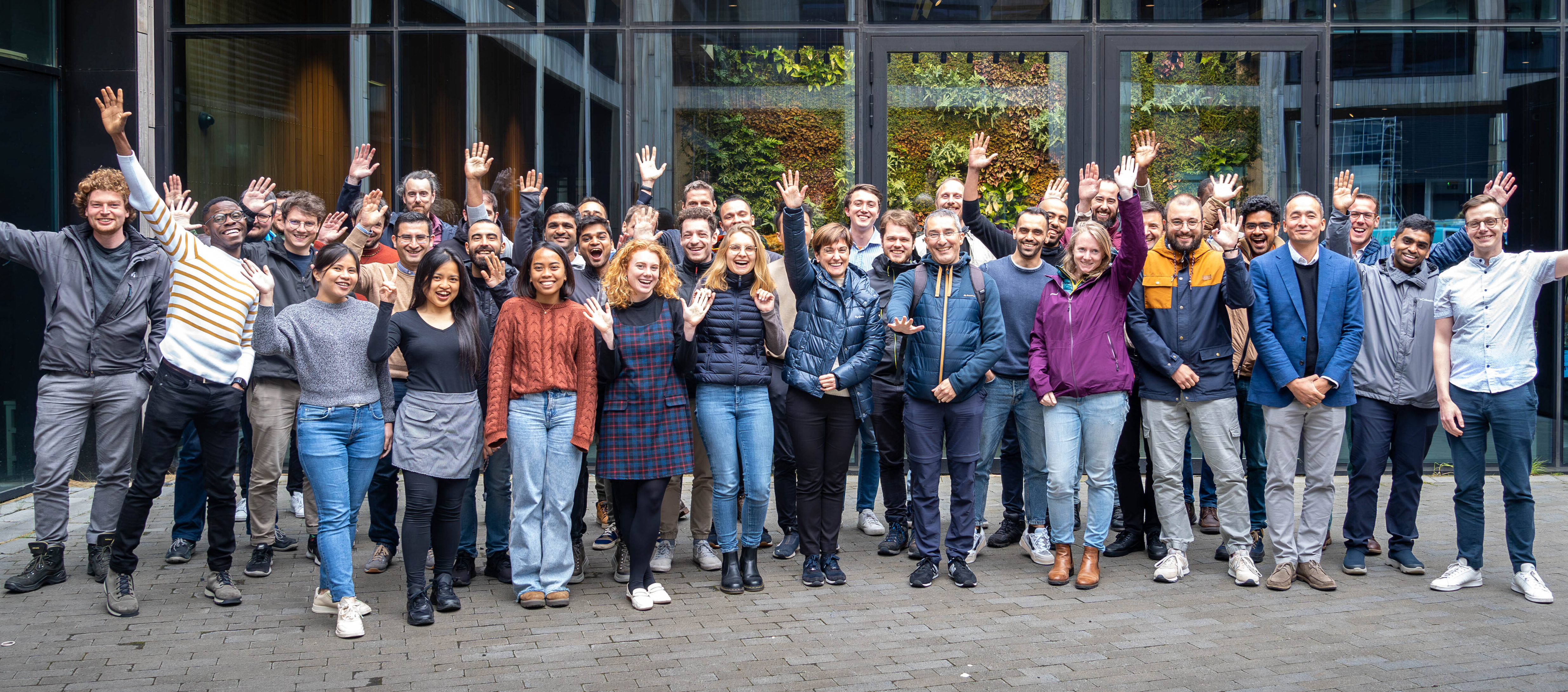
summer-school

Data Science Summer School Session

University of Iceland, IEEE GRSS 2023

summer-school

Summer School on Scaling Machine Learning for Remote Sensing using Cloud Computing Environment

IEEE GRSS 2021

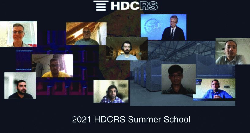
summer-school

Tutorial on End-to-End Machine Learning with Supercomputing and in the Cloud

IGARSS 2023

summer-school

Tutorial on End-to-End MachineLearning with High Performance and Cloud Computing

Kuala Lumpur, Malaysia

summer-school

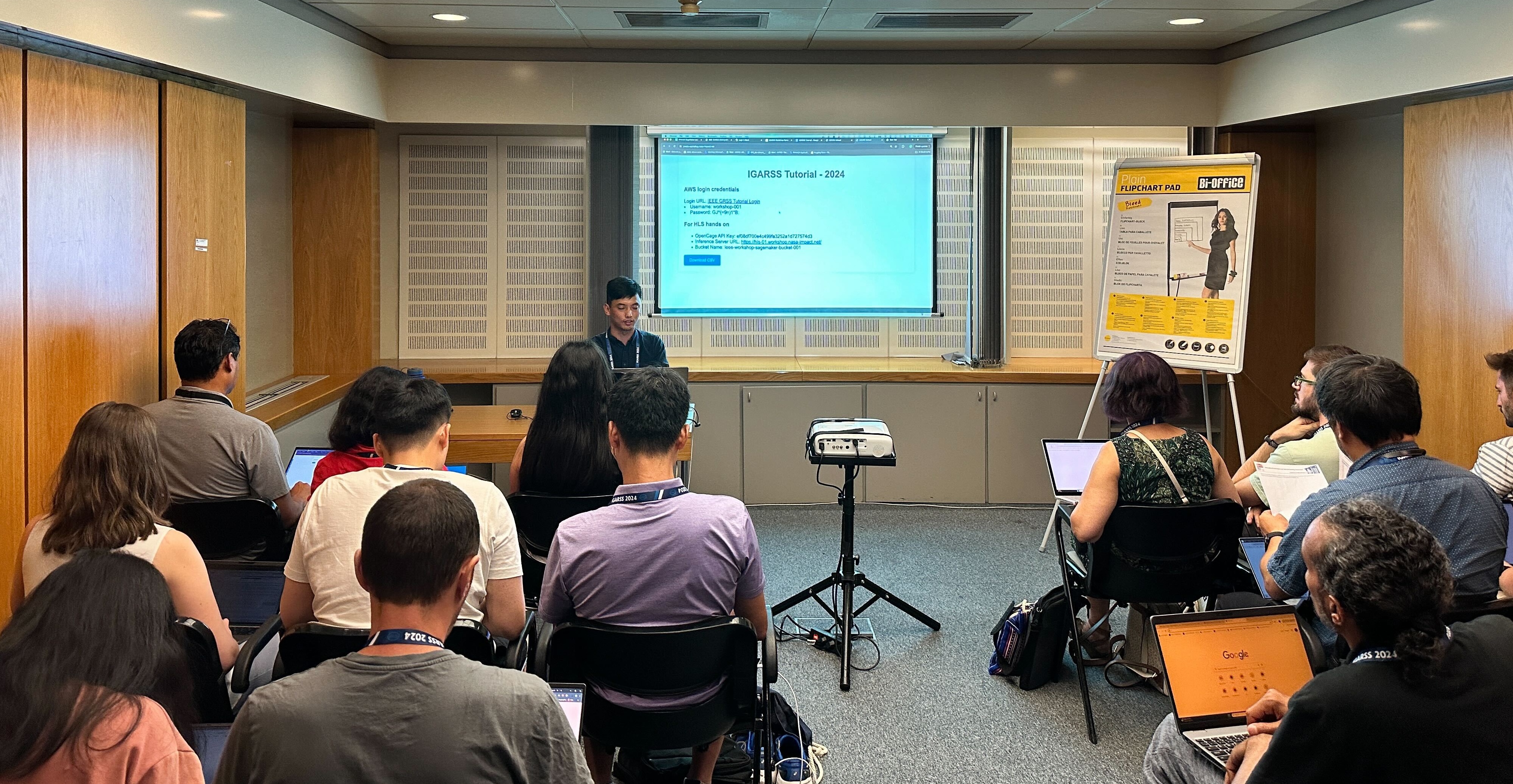
Tutorial on Using Open Data, Platform, and API from NASA-ESA-JAXA Earth Observation Dashboard

IGARSS 2022

Academic Guidance and Mentorship

      Thesis committee mentees:
      • Paridhi Parajuli (Computer Science)
      • Rajesh Pandey (Computer Science)
      • Anish Bhusal (Computer Science)
      • Rajesh Pandey (Computer Science)
      • Nishan Pantha (Computer Science)
      • Suraj Regmi (Computer Science)
      • Rajesh Pandey (Computer Science)
      • Meghana Nagarahalli Paramesh (Computer Science)
      • Prasanna Koirala (Computer Science)
      • Jeanne Le Roux (Atmospheric Science)
    • NASA SpaceApps challenge owner and mentor for several years
    • Data science outreach across many universities

Panel Participation

  • USGIF GEOINT Symposium Panel: "Geo GPT" for Real Time Geospatial Discovery
  • NITRD National AI Research Resource Panel at White House
  • Big Data and CyberGIS/AI of the Past, Present, and Future of GIScience hosted by American Association of Geographers
  • NASA Advisory Council, Science Committee Meeting Panel on Lowering the Boundaries to Science Research
  • National Academies Meeting on GeoAI and the Future of Mapping: Implications for 21st-Century Digital Resilience
  • Trillion Pixel Challenge, 2023: Geospatial data infrastructures
  • NASA Understanding Science Mission Directorate (SMD) Needs for Data and Computing Workshop
  • SatSummit 2022: Expanding Access to Commercial Data
  • Federal Government's Use of AI Event
  • NOAA Environmental Data Management Workshop
  • Living Planet Symposium 2022: Towards EO Open Science building on enabling technologies
  • Living Planet Symposium 2022: NASA-ESA-JAXA EO Dashboard Cooperation
  • IEEE Webinar on Data Harmonization Focusing on the Harmonized Landsat Sentinel
  • FedGeoDay 2021
  • Trillion Pixel Challenge, 2023: Geospatial data infrastructures: Grand challenges
  • 2nd NOAA Workshop on Leveraging AI in Environmental Sciences: AI/ML for Environmental Data, Image, and Signal Processing
  • NASA Digital Transformation Virtual Event: The Future of Artificial Intelligence and Machine Learning (AI/ML)
  • OGC New Space Workshop
  • Environmental Information Management

Invited Speaker/Keynote

  • IEEE SMC-IT/SCC 2024:Trustworthiness of Foundation Models and What They Generate
  • 2024 NSF Research Infrastructure Workshop
  • Machine Learning and Data Management for Earth Observation organized by BIFOLD
  • SMART SKY: Zeiss Major Planetarium
  • Future of Florida Summit
  • AI Symposium organized by US Space and Rocket Center
  • White House Demo Day 2023
  • CSPRI and the Disaster Risk Reduction and Tech Community of Interest organized by George Washington University
  • AI for Good, organized by ITU
  • American Geophysical Union Fall Meetings
  • Data Tools for Empowering Mission Success
  • Pacific Islands GIS & Remote Sensing User Conference
  • Cerner Healthcare Engineering Tech Talk
  • Civil Applications Committee

Interviews and Articles